NavSource Online: Army Ship Photo Archive
USED Dredge Sainte Genevieve
International Radio Call Sign:
Whiskey - Yankee - Delta - Xray
WYDX
Please report any broken links or trouble you might come across to the Webmaster. Please take a moment to let us know so that we can correct any problems and make your visit as enjoyable and as informative as possible.

| Click On Image For Full Size Image | Size | Image Description | Source | |
|---|---|---|---|---|
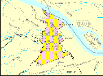
30266003 |
35k | U.S. Census 2000 reference map for Sainte. Genevieve in Missouri. |
Tommy Trampp | |
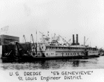
30266001 |
352k | USACE Sainte Genevieve moored pierside, date and location unknown.
US Army Corps of Engineers |
Tommy Trampp | |

30266002 |
110k | USACE Sainte Genevieve moored pierside, date and location unknown.
©Quad Cities Times photo |
Tommy Trampp | |
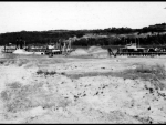
30266004 |
141k | Dredges USACE Sainte Genevieve and USACE William M. Black dredge opposite each other in October 1952
building the Kansas City Division channel diversion. An Earth wall 50' wide was left between the two dredges which was blasted out.
University of Missouri, Saint Louis. |
Tommy Trampp | |
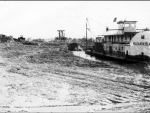
30266005 |
153k | |||
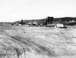
30266006 |
142k | |||

30266007 |
97k | USACE Dredge Sainte Genevieve dredging a channel, date and location unknown.
University of Missouri-St. Louis Digital Collection |
Tommy Trampp | |
| Back To The Navsource Photo Archives Main Page | Back To The US Army Ship Index | Back To The US Army Dredge Index |
| Comments, Suggestions, E-mail Webmaster. |
|
This page is created and maintained by Gary P. Priolo |